Smart Greenery Management: Integrating AI and drone imagery for more efficient tree inventories
Summary
Even though recent evolutions increased the practical usability of drones, applications in greenery management are lagging behind. There is an increasing demand for tools and expertise related to the inventory of urban green using drone imagery. Both updating tree inventories and assessing the condition of trees are time consuming processes, often influenced by a certain level of subjectivity. An efficient and standardised method to collect information about the characteristics and quality of the urban tree community is a prerequisite for quick and targeted interventions.
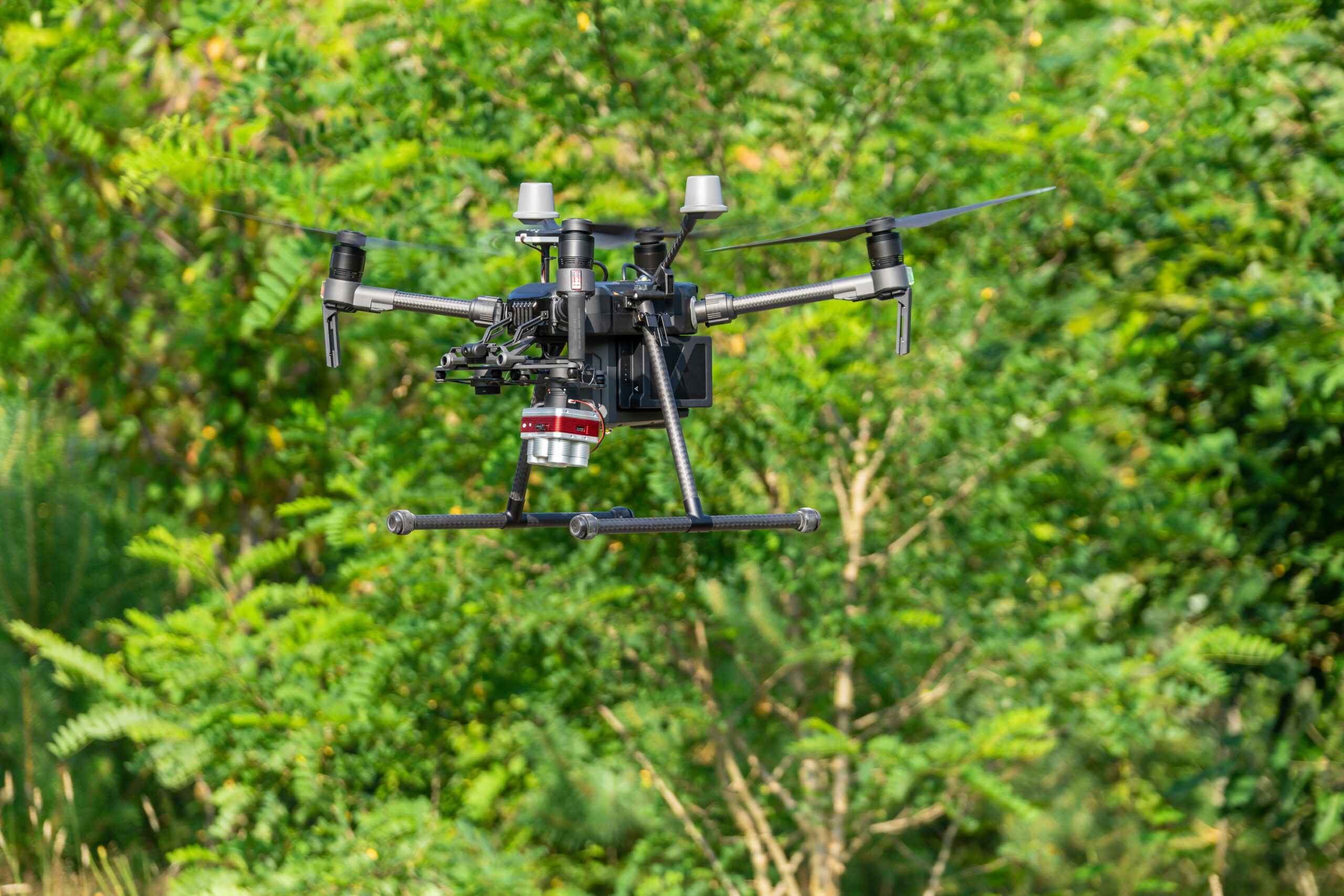
This project focuses on the following research question: To which extent can drones be used to measure tree characteristics in an automated flow?. In a first step we will make an inventory of the available drone infrastructure and operationalise it, in line with the recent EU-regulation. In a next phase, we will zoom in on methods to estimate structural tree characteristics (e.g. tree height and crown diameter) and to assess tree health. This will result in an overview of tree characteristics that are measurable using drones, together with an evaluation of the accuracy of these estimation procedures. Subsequently, the collected data will be imported in an AI-environment, which will result in a GIS-compatible plug-in. This plug-in will be tested intensively and demonstrated during stakeholder workshops.
Keywords: Tree health assessment, 3D mapping, urban forestry, Artificial Intelligence

